Sandon Place
Introduction
The photograph on this page of Sandon Place by Malcolm Reid as part of the Geograph project.
The Geograph project started in 2005 with the aim of publishing, organising and preserving representative images for every square kilometre of Great Britain, Ireland and the Isle of Man.

There are currently over 7.5m images from over 14,400 individuals and you can help contribute to the project by visiting https://www.geograph.org.uk
Sandon Place
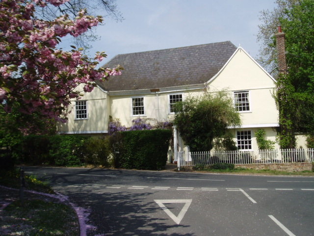
Image: © Malcolm Reid Taken: 24 Apr 2007
This is the junction where Hall Lane meets Woodhill Road. The house opposite is 'Sandon Place'. This building is Grade II listed, as are some of its outhouses. Of note are the wooden rain gutters above the two central windows of the building's frontage.
Images are licensed for reuse under creativecommons.org/licenses/by-sa/2.0
Image Location
Latitude
51.715649
Longitude
0.521995