T-Junction at 'The Bent'
Introduction
The photograph on this page of T-Junction at 'The Bent' by Jonathan Clitheroe as part of the Geograph project.
The Geograph project started in 2005 with the aim of publishing, organising and preserving representative images for every square kilometre of Great Britain, Ireland and the Isle of Man.

There are currently over 7.5m images from over 14,400 individuals and you can help contribute to the project by visiting https://www.geograph.org.uk
T-Junction at 'The Bent'
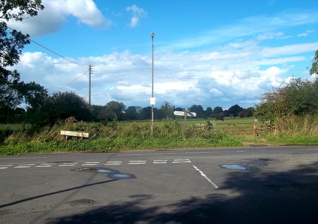
Image: © Jonathan Clitheroe Taken: 23 Aug 2014
It's left to Church Broughton, right to Sutton on the Hill or straight on if you prefer the footpath.
Images are licensed for reuse under creativecommons.org/licenses/by-sa/2.0
Image Location
Latitude
52.897538
Longitude
-1.685559