Under the M4 near Briton Ferry
Introduction
The photograph on this page of Under the M4 near Briton Ferry by Gareth James as part of the Geograph project.
The Geograph project started in 2005 with the aim of publishing, organising and preserving representative images for every square kilometre of Great Britain, Ireland and the Isle of Man.

There are currently over 7.5m images from over 14,400 individuals and you can help contribute to the project by visiting https://www.geograph.org.uk
Under the M4 near Briton Ferry
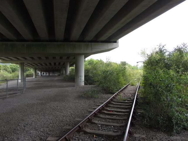
Image: © Gareth James Taken: 24 Aug 2014
On the public footpath crossing by Baglan Bay railway sidings.
Images are licensed for reuse under creativecommons.org/licenses/by-sa/2.0
Image Location
Latitude
51.623758
Longitude
-3.82042