Looking down to Rookby Scarth
Introduction
The photograph on this page of Looking down to Rookby Scarth by Gordon Hatton as part of the Geograph project.
The Geograph project started in 2005 with the aim of publishing, organising and preserving representative images for every square kilometre of Great Britain, Ireland and the Isle of Man.

There are currently over 7.5m images from over 14,400 individuals and you can help contribute to the project by visiting https://www.geograph.org.uk
Looking down to Rookby Scarth
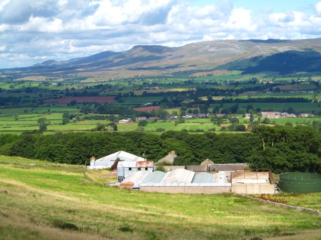
Image: © Gordon Hatton Taken: 24 Aug 2014
Not the best view of the farm buildings from this vantage point on Fell Lane, but the panorama beyond is well worth a photograph with the scarp slope of the Northern Pennines running away in the distance. The more isolate peaks along the edge of the fells stand out well, including flat topped Roman Fell [part cloud shadowed], Murton Pike to the left and pointed Dufton Pike furthest left.
Images are licensed for reuse under creativecommons.org/licenses/by-sa/2.0
Image Location
Latitude
54.484419
Longitude
-2.305579