Rookby Scarth
Introduction
The photograph on this page of Rookby Scarth by Gordon Hatton as part of the Geograph project.
The Geograph project started in 2005 with the aim of publishing, organising and preserving representative images for every square kilometre of Great Britain, Ireland and the Isle of Man.

There are currently over 7.5m images from over 14,400 individuals and you can help contribute to the project by visiting https://www.geograph.org.uk
Rookby Scarth
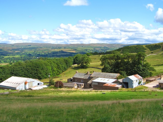
Image: © Gordon Hatton Taken: 24 Aug 2014
Farm house and barns at the edge of the fells in Winton parish. This view looks north east towards the fells above the Stainmoor Gap, over which runs the A66.
Images are licensed for reuse under creativecommons.org/licenses/by-sa/2.0
Image Location
Latitude
54.484688
Longitude
-2.305735