Level crossing at Mitcham Eastfields
Introduction
The photograph on this page of Level crossing at Mitcham Eastfields by Robin Webster as part of the Geograph project.
The Geograph project started in 2005 with the aim of publishing, organising and preserving representative images for every square kilometre of Great Britain, Ireland and the Isle of Man.

There are currently over 7.5m images from over 14,400 individuals and you can help contribute to the project by visiting https://www.geograph.org.uk
Level crossing at Mitcham Eastfields
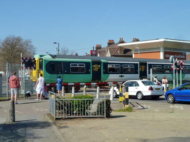
Image: © Robin Webster Taken: 1 Apr 2012
The station here has staggered platforms each on the far side of the level crossing for an arriving train. This reduces the time the level crossing is closed to the road.
Images are licensed for reuse under creativecommons.org/licenses/by-sa/2.0
Image Location
Latitude
51.407559
Longitude
-0.154725