Blackshaw Moor and the Roaches
Introduction
The photograph on this page of Blackshaw Moor and the Roaches by David Weston as part of the Geograph project.
The Geograph project started in 2005 with the aim of publishing, organising and preserving representative images for every square kilometre of Great Britain, Ireland and the Isle of Man.

There are currently over 7.5m images from over 14,400 individuals and you can help contribute to the project by visiting https://www.geograph.org.uk
Blackshaw Moor and the Roaches
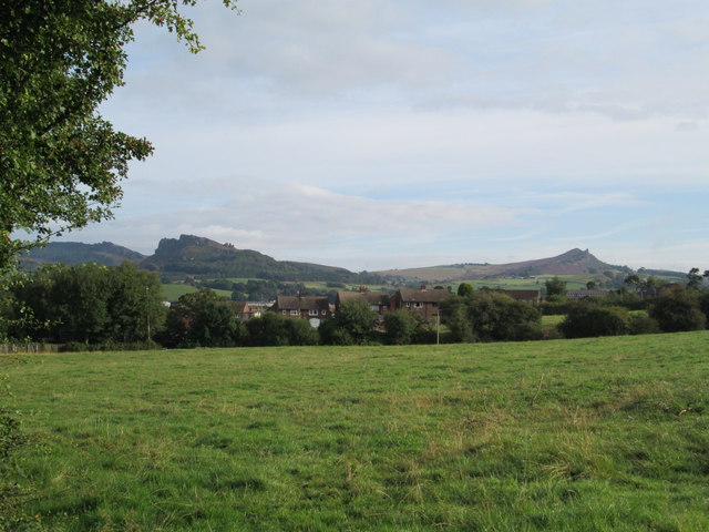
Image: © David Weston Taken: 24 Aug 2014
Viewed from the road to Thorncliffe: across the field are houses of the Tittesworth Estate; in the distance are the Roaches on the left, and Ramshaw Rocks on the right.
Images are licensed for reuse under creativecommons.org/licenses/by-sa/2.0
Image Location
Latitude
53.135266
Longitude
-1.986806