Path, South Merton
Introduction
The photograph on this page of Path, South Merton by Robin Webster as part of the Geograph project.
The Geograph project started in 2005 with the aim of publishing, organising and preserving representative images for every square kilometre of Great Britain, Ireland and the Isle of Man.

There are currently over 7.5m images from over 14,400 individuals and you can help contribute to the project by visiting https://www.geograph.org.uk
Path, South Merton
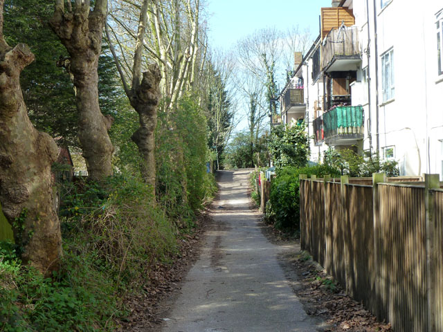
Image: © Robin Webster Taken: 1 Apr 2012
This runs behind flats with addresses on Martin Way, although they are at a lower level than that road and reached indirectly.
Images are licensed for reuse under creativecommons.org/licenses/by-sa/2.0
Image Location


Leaflet Map data © OpenStreetMap
Latitude
51.402327
Longitude
-0.20583