Dromara Road at its junction with Lackan Road
Introduction
The photograph on this page of Dromara Road at its junction with Lackan Road by Eric Jones as part of the Geograph project.
The Geograph project started in 2005 with the aim of publishing, organising and preserving representative images for every square kilometre of Great Britain, Ireland and the Isle of Man.

There are currently over 7.5m images from over 14,400 individuals and you can help contribute to the project by visiting https://www.geograph.org.uk
Dromara Road at its junction with Lackan Road
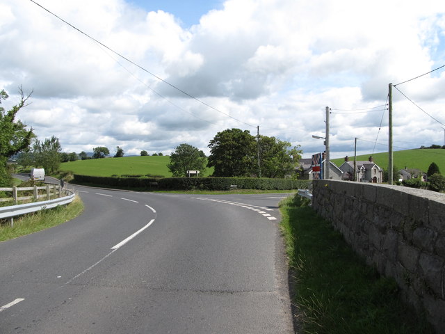
Image: © Eric Jones Taken: 15 Aug 2014
The image was taken on the railway bridge. Dromara Road links the towns of Rathfriland and Dromara, while the Lackan Road runs south-eastwards in the direction of Castlewellan.
Images are licensed for reuse under creativecommons.org/licenses/by-sa/2.0
Image Location
Latitude
54.273898
Longitude
-6.12503