View of Ashtree farm
Introduction
The photograph on this page of View of Ashtree farm by Robert Graham as part of the Geograph project.
The Geograph project started in 2005 with the aim of publishing, organising and preserving representative images for every square kilometre of Great Britain, Ireland and the Isle of Man.

There are currently over 7.5m images from over 14,400 individuals and you can help contribute to the project by visiting https://www.geograph.org.uk
View of Ashtree farm
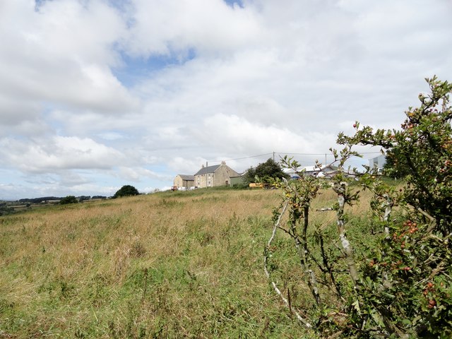
Image: © Robert Graham Taken: 13 Aug 2014
Looking up to this isolated farmstead, perched at over 700 feet above the village of Chopwell. On the top of the ridge, it is visible from miles around.
Images are licensed for reuse under creativecommons.org/licenses/by-sa/2.0
Image Location
Latitude
54.92422
Longitude
-1.829274