New pond?
Introduction
The photograph on this page of New pond? by Robin Webster as part of the Geograph project.
The Geograph project started in 2005 with the aim of publishing, organising and preserving representative images for every square kilometre of Great Britain, Ireland and the Isle of Man.

There are currently over 7.5m images from over 14,400 individuals and you can help contribute to the project by visiting https://www.geograph.org.uk
New pond?
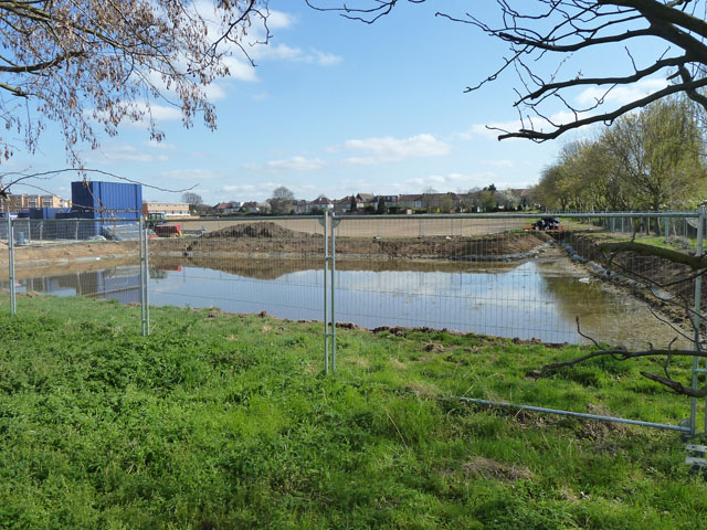
Image: © Robin Webster Taken: 1 Apr 2012
A large shallow area has been excavated and lined part way up the banks in a corner of a sports ground.
Images are licensed for reuse under creativecommons.org/licenses/by-sa/2.0
Image Location


Leaflet Map data © OpenStreetMap
Latitude
51.403665
Longitude
-0.234677