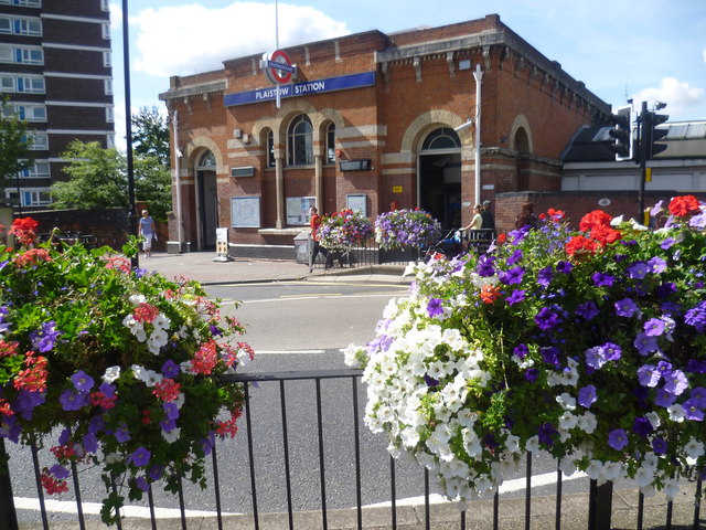
The frontage of Plaistow station
Introduction
The photograph on this page of The frontage of Plaistow station by Marathon as part of the Geograph project.
The Geograph project started in 2005 with the aim of publishing, organising and preserving representative images for every square kilometre of Great Britain, Ireland and the Isle of Man.
There are currently over 7.5m images from over 14,400 individuals and you can help contribute to the project by visiting https://www.geograph.org.uk

Image: © Marathon Taken: 21 Aug 2014
The London, Tilbury & Southend Railway direct line from Bow to Barking (avoiding Stratford and Forest Gate) was constructed from west to east through the middle of the Parish of West Ham in 1858. Plaistow station was opened at the same time. The Whitechapel & Bow Railway allowed through services of the Metropolitan District Railway to operate through to Upminster from 1902. The Metropolitan District converted to electric trains in 1905 when the station booking hall, seen here across Plaistow Road, was built. The Metropolitan District Railway was incorporated into London Transport in 1933, and became known as the District line. The Fenchurch Street to Southend service was withdrawn from Plaistow and the platforms used by that service have been abandoned since 1962.

