Blind Lane Field
Introduction
The photograph on this page of Blind Lane Field by Simon Carey as part of the Geograph project.
The Geograph project started in 2005 with the aim of publishing, organising and preserving representative images for every square kilometre of Great Britain, Ireland and the Isle of Man.

There are currently over 7.5m images from over 14,400 individuals and you can help contribute to the project by visiting https://www.geograph.org.uk
Blind Lane Field
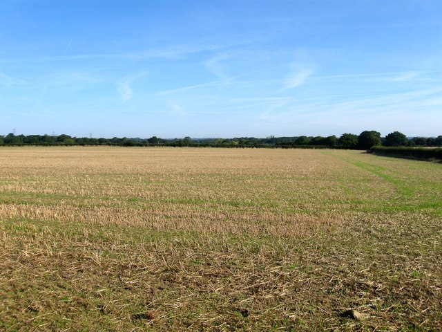
Image: © Simon Carey Taken: 21 Aug 2014
The name of the field according to Woodmancote's 1839 tithe map that has been merged with Image to the west to form a larger unit. It is bounded by Image to the south, Image to the north and Image to the east. The blind lane in question may have been a track leading to Woodhouse. All of the land between the A23 and Henfield is currently threatened with a proposed private development to build a new garden town the size of Burgess Hill.
Images are licensed for reuse under creativecommons.org/licenses/by-sa/2.0
Image Location
Latitude
50.937961
Longitude
-0.249097