Fields near Five Lane Ends
Introduction
The photograph on this page of Fields near Five Lane Ends by Oliver Dixon as part of the Geograph project.
The Geograph project started in 2005 with the aim of publishing, organising and preserving representative images for every square kilometre of Great Britain, Ireland and the Isle of Man.

There are currently over 7.5m images from over 14,400 individuals and you can help contribute to the project by visiting https://www.geograph.org.uk
Fields near Five Lane Ends
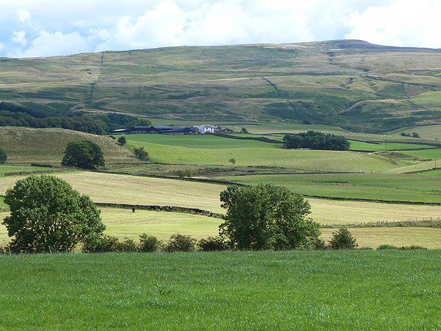
Image: © Oliver Dixon Taken: 20 Aug 2014
The two small trees and hedgerow in the foreground lie along the road to Unthank (hidden from view). At the foot of the North Pennine escarpment is Cannerheugh Farm Image The Hartside Pass road, A686 can be seen climbing the hillside from right to left. Fiends Fell Image dominates the skyline.
Images are licensed for reuse under creativecommons.org/licenses/by-sa/2.0
Image Location
Latitude
54.770556
Longitude
-2.613946