Path by CMS
Introduction
The photograph on this page of Path by CMS by Hugh Venables as part of the Geograph project.
The Geograph project started in 2005 with the aim of publishing, organising and preserving representative images for every square kilometre of Great Britain, Ireland and the Isle of Man.

There are currently over 7.5m images from over 14,400 individuals and you can help contribute to the project by visiting https://www.geograph.org.uk
Path by CMS
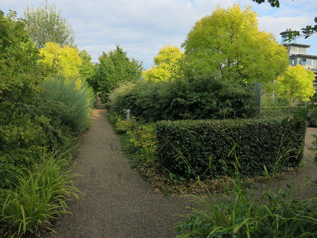
Image: © Hugh Venables Taken: 15 Aug 2014
Running along the edge of the Centre for Mathematical Sciences site from Wilberforce Road.
Images are licensed for reuse under creativecommons.org/licenses/by-sa/2.0
Image Location
Latitude
52.210766
Longitude
0.101299