NE boundary of Malmesbury
Introduction
The photograph on this page of NE boundary of Malmesbury by Jaggery as part of the Geograph project.
The Geograph project started in 2005 with the aim of publishing, organising and preserving representative images for every square kilometre of Great Britain, Ireland and the Isle of Man.

There are currently over 7.5m images from over 14,400 individuals and you can help contribute to the project by visiting https://www.geograph.org.uk
NE boundary of Malmesbury
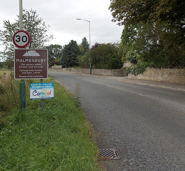
Image: © Jaggery Taken: 17 Aug 2014
Alongside the B4040 near Whychurch roundabout and Whychurch Farm. The boundary sign states that Malmesbury's Charter (from King Alfred the Great) dates from 880 A.D.
Images are licensed for reuse under creativecommons.org/licenses/by-sa/2.0
Image Location
Latitude
51.590367
Longitude
-2.08988