Boundary Stone, London Road, Retford
Introduction
The photograph on this page of Boundary Stone, London Road, Retford by Alan Murray-Rust as part of the Geograph project.
The Geograph project started in 2005 with the aim of publishing, organising and preserving representative images for every square kilometre of Great Britain, Ireland and the Isle of Man.

There are currently over 7.5m images from over 14,400 individuals and you can help contribute to the project by visiting https://www.geograph.org.uk
Boundary Stone, London Road, Retford
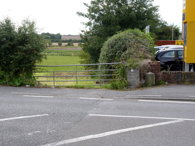
Image: © Alan Murray-Rust Taken: 15 Aug 2014
Marking the boundaries of the parishes of East Retford and Eaton. See http://www.geograph.org.uk/photo/4128544 for a close up.
Images are licensed for reuse under creativecommons.org/licenses/by-sa/2.0
Image Location
Latitude
53.303795
Longitude
-0.932271