Housing development, Norman Road, Greenwich
Introduction
The photograph on this page of Housing development, Norman Road, Greenwich by Stephen Craven as part of the Geograph project.
The Geograph project started in 2005 with the aim of publishing, organising and preserving representative images for every square kilometre of Great Britain, Ireland and the Isle of Man.

There are currently over 7.5m images from over 14,400 individuals and you can help contribute to the project by visiting https://www.geograph.org.uk
Housing development, Norman Road, Greenwich
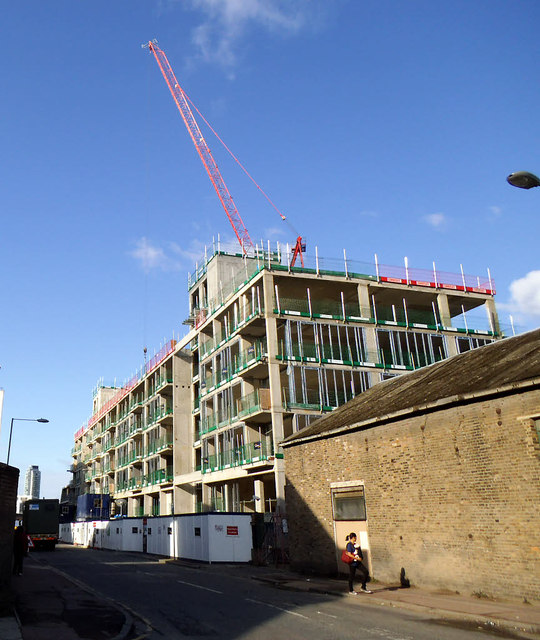
Image: © Stephen Craven Taken: 19 Aug 2014
Yet another former industrial site gets redeveloped for housing. No previous geographs for this centisquare unfortunately so we don't have a record of what was here before. To the right is Ravensbourne Wharf Image
Images are licensed for reuse under creativecommons.org/licenses/by-sa/2.0
Image Location
Latitude
51.480299
Longitude
-0.016414