Airmyn, South End
Introduction
The photograph on this page of Airmyn, South End by George Robinson as part of the Geograph project.
The Geograph project started in 2005 with the aim of publishing, organising and preserving representative images for every square kilometre of Great Britain, Ireland and the Isle of Man.

There are currently over 7.5m images from over 14,400 individuals and you can help contribute to the project by visiting https://www.geograph.org.uk
Airmyn, South End
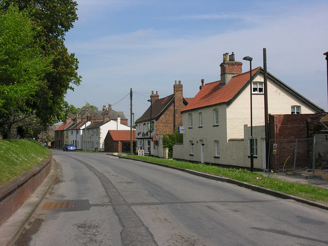
Image: © George Robinson Taken: 25 Apr 2007
View northwards with the flood defence of the River Aire on the left and old houses and the Percy Arms on the right, this is the northern edge of this grid square.
Images are licensed for reuse under creativecommons.org/licenses/by-sa/2.0
Image Location


Leaflet Map data © OpenStreetMap
Latitude
53.716234
Longitude
-0.905793