Start of Maypole Dock Branch, Grand Union Canal
Introduction
The photograph on this page of Start of Maypole Dock Branch, Grand Union Canal by Robin Webster as part of the Geograph project.
The Geograph project started in 2005 with the aim of publishing, organising and preserving representative images for every square kilometre of Great Britain, Ireland and the Isle of Man.

There are currently over 7.5m images from over 14,400 individuals and you can help contribute to the project by visiting https://www.geograph.org.uk
Start of Maypole Dock Branch, Grand Union Canal
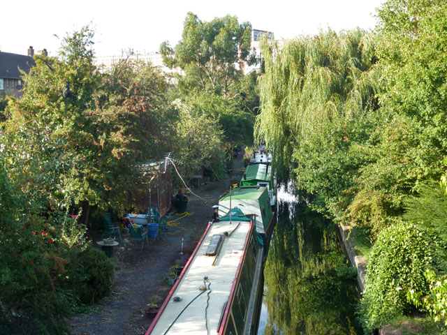
Image: © Robin Webster Taken: 16 Sep 2012
This quite long branch, originally to a margarine factory, was of remarkably late construction, as canals go, not appearing on maps until the 1930s. It was and is private, and seems now to be used for moorings, most of which look rather permanent.
Images are licensed for reuse under creativecommons.org/licenses/by-sa/2.0
Image Location
Latitude
51.501434
Longitude
-0.366481