The village of Lowtown /Dechomet from the south
Introduction
The photograph on this page of The village of Lowtown /Dechomet from the south by Eric Jones as part of the Geograph project.
The Geograph project started in 2005 with the aim of publishing, organising and preserving representative images for every square kilometre of Great Britain, Ireland and the Isle of Man.

There are currently over 7.5m images from over 14,400 individuals and you can help contribute to the project by visiting https://www.geograph.org.uk
The village of Lowtown /Dechomet from the south
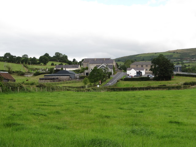
Image: © Eric Jones Taken: 15 Aug 2014
A mainly Nationalist community, Lowtown is centred on a cross roads on the Moneyslane Road a little over a mile north east of the Loyalist village of Moneyslane.
Images are licensed for reuse under creativecommons.org/licenses/by-sa/2.0
Image Location
Latitude
54.3021
Longitude
-6.067366