Field at Caddapit
Introduction
The photograph on this page of Field at Caddapit by Derek Harper as part of the Geograph project.
The Geograph project started in 2005 with the aim of publishing, organising and preserving representative images for every square kilometre of Great Britain, Ireland and the Isle of Man.

There are currently over 7.5m images from over 14,400 individuals and you can help contribute to the project by visiting https://www.geograph.org.uk
Field at Caddapit
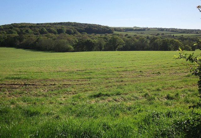
Image: © Derek Harper Taken: 14 May 2014
Looking to the right from the same spot as Image The nearest trees in the centre hide the remnants of an oxbow lake encircled by the field. Across the river is Lower Wood. On the hill is Cransdown Plantation.
Images are licensed for reuse under creativecommons.org/licenses/by-sa/2.0
Image Location
Latitude
50.495337
Longitude
-4.346042