Hawthorn Terrace, Shilbottle Grange
Introduction
The photograph on this page of Hawthorn Terrace, Shilbottle Grange by Graham Robson as part of the Geograph project.
The Geograph project started in 2005 with the aim of publishing, organising and preserving representative images for every square kilometre of Great Britain, Ireland and the Isle of Man.

There are currently over 7.5m images from over 14,400 individuals and you can help contribute to the project by visiting https://www.geograph.org.uk
Hawthorn Terrace, Shilbottle Grange
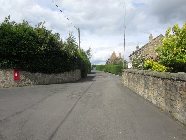
Image: © Graham Robson Taken: 9 Aug 2014
Looking along Hawthorn Terrace in Shilbottle Grange from its junction with Coquet View. The post box serving Shilbottle Grange can be seen in the wall on the left of the photo.
Images are licensed for reuse under creativecommons.org/licenses/by-sa/2.0
Image Location
Latitude
55.368264
Longitude
-1.67528