Cleared area in Milburn Wood
Introduction
The photograph on this page of Cleared area in Milburn Wood by Lairich Rig as part of the Geograph project.
The Geograph project started in 2005 with the aim of publishing, organising and preserving representative images for every square kilometre of Great Britain, Ireland and the Isle of Man.

There are currently over 7.5m images from over 14,400 individuals and you can help contribute to the project by visiting https://www.geograph.org.uk
Cleared area in Milburn Wood
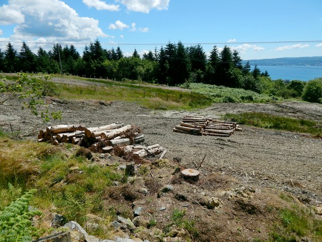
Image: © Lairich Rig Taken: 9 Jul 2014
Milburn Wood is the central part of the northern half of Ardencaple Wood. This area has recently been cleared. The picture was taken from the adjacent path, Highlandman's Road.
Images are licensed for reuse under creativecommons.org/licenses/by-sa/2.0
Image Location
Latitude
56.022137
Longitude
-4.75505