Broomrape by the path, Daddyhole Plain
Introduction
The photograph on this page of Broomrape by the path, Daddyhole Plain by Derek Harper as part of the Geograph project.
The Geograph project started in 2005 with the aim of publishing, organising and preserving representative images for every square kilometre of Great Britain, Ireland and the Isle of Man.

There are currently over 7.5m images from over 14,400 individuals and you can help contribute to the project by visiting https://www.geograph.org.uk
Broomrape by the path, Daddyhole Plain
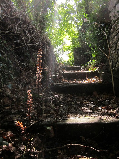
Image: © Derek Harper Taken: 17 Aug 2014
A few metres up the path shown in Image], with dried specimens of an Orobanche species.
Images are licensed for reuse under creativecommons.org/licenses/by-sa/2.0
Image Location
Latitude
50.456604
Longitude
-3.514882