Farmland near Aslackby
Introduction
The photograph on this page of Farmland near Aslackby by Kate Jewell as part of the Geograph project.
The Geograph project started in 2005 with the aim of publishing, organising and preserving representative images for every square kilometre of Great Britain, Ireland and the Isle of Man.

There are currently over 7.5m images from over 14,400 individuals and you can help contribute to the project by visiting https://www.geograph.org.uk
Farmland near Aslackby
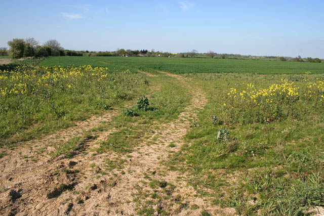
Image: © Kate Jewell Taken: 18 Apr 2007
Halfway between Kirkby Underwood and Aslackby; the farmland is quite exposed here at 55 metres above sea level.
Images are licensed for reuse under creativecommons.org/licenses/by-sa/2.0
Image Location
Latitude
52.846968
Longitude
-0.398106