Cycle facilities, Shepherds Bush
Introduction
The photograph on this page of Cycle facilities, Shepherds Bush by Stephen Craven as part of the Geograph project.
The Geograph project started in 2005 with the aim of publishing, organising and preserving representative images for every square kilometre of Great Britain, Ireland and the Isle of Man.

There are currently over 7.5m images from over 14,400 individuals and you can help contribute to the project by visiting https://www.geograph.org.uk
Cycle facilities, Shepherds Bush
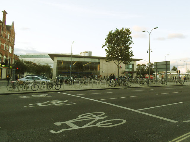
Image: © Stephen Craven Taken: 16 Aug 2014
A very large ASL (advanced stop line) box in the foreground, and a large number of cycle stands in the central reservation.
Images are licensed for reuse under creativecommons.org/licenses/by-sa/2.0
Image Location
Latitude
51.504143
Longitude
-0.218981