Longford River
Introduction
The photograph on this page of Longford River by Robin Webster as part of the Geograph project.
The Geograph project started in 2005 with the aim of publishing, organising and preserving representative images for every square kilometre of Great Britain, Ireland and the Isle of Man.

There are currently over 7.5m images from over 14,400 individuals and you can help contribute to the project by visiting https://www.geograph.org.uk
Longford River
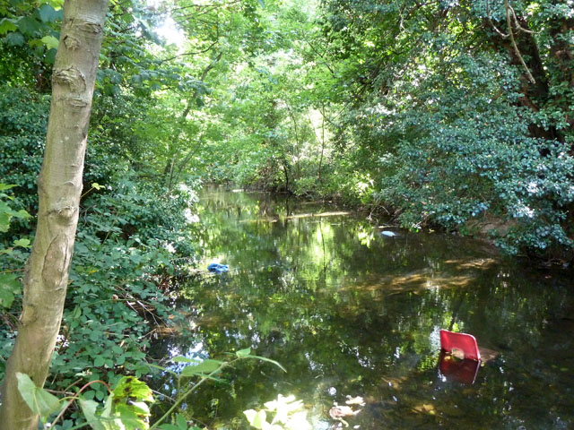
Image: © Robin Webster Taken: 14 Sep 2012
This much culverted river, formerly known as Queen's or Cardinal's River, is exposed here to act as a partial moat around one side of the disused Hanworth Park House. A series of straights and right angled bends indicate the natural look was not in vogue when the grounds were laid out.
Images are licensed for reuse under creativecommons.org/licenses/by-sa/2.0
Image Location
Latitude
51.440641
Longitude
-0.398723