Crossroads, Treweese
Introduction
The photograph on this page of Crossroads, Treweese by Derek Harper as part of the Geograph project.
The Geograph project started in 2005 with the aim of publishing, organising and preserving representative images for every square kilometre of Great Britain, Ireland and the Isle of Man.

There are currently over 7.5m images from over 14,400 individuals and you can help contribute to the project by visiting https://www.geograph.org.uk
Crossroads, Treweese
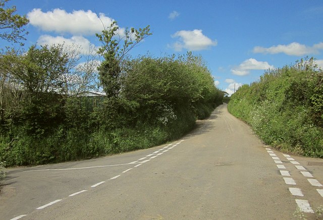
Image: © Derek Harper Taken: 14 May 2014
This ought to be Treweese Cross, as it's on Treweese Road (crossing here from left to right), and that leads to the farm at Treweese, but the name belongs to the crossroads shown in Image, just 100 metres behind the camera.
Images are licensed for reuse under creativecommons.org/licenses/by-sa/2.0
Image Location
Latitude
50.460713
Longitude
-4.385613