Alexandra Road
Introduction
The photograph on this page of Alexandra Road by Ian Capper as part of the Geograph project.
The Geograph project started in 2005 with the aim of publishing, organising and preserving representative images for every square kilometre of Great Britain, Ireland and the Isle of Man.

There are currently over 7.5m images from over 14,400 individuals and you can help contribute to the project by visiting https://www.geograph.org.uk
Alexandra Road
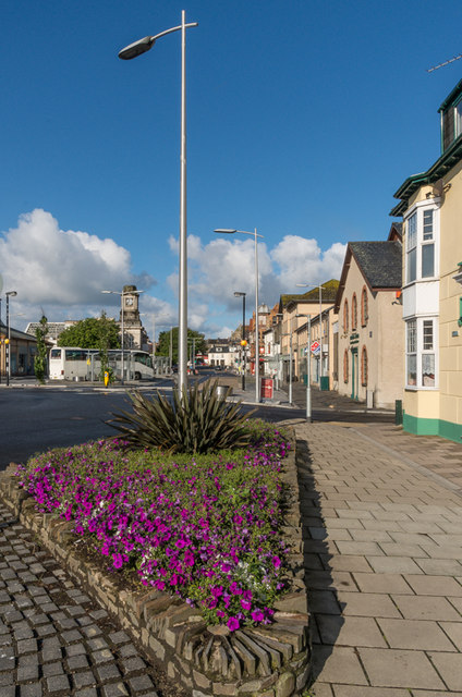
Image: © Ian Capper Taken: 8 Jul 2014
Looking along Alexandra Road, with the Railway and Bus Stations on the left. On the right, beyond Brewer Street, is the site of Green's Foundry, which manufactured and exported mining equipment. A disastrous fire in 1908 resulted in its closure, but the buildings survived until demolition in 1993, which happened despite listed status.
Images are licensed for reuse under creativecommons.org/licenses/by-sa/2.0
Image Location
Latitude
52.41483
Longitude
-4.080622