Farmland on the edge of Leicester
Introduction
The photograph on this page of Farmland on the edge of Leicester by Mat Fascione as part of the Geograph project.
The Geograph project started in 2005 with the aim of publishing, organising and preserving representative images for every square kilometre of Great Britain, Ireland and the Isle of Man.

There are currently over 7.5m images from over 14,400 individuals and you can help contribute to the project by visiting https://www.geograph.org.uk
Farmland on the edge of Leicester
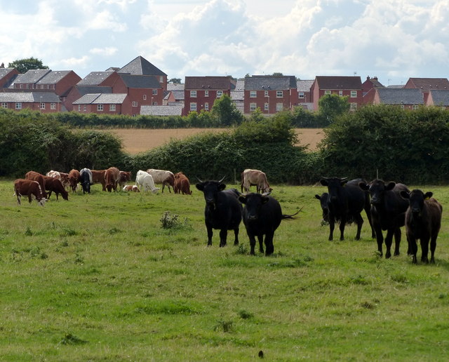
Image: © Mat Fascione Taken: 9 Aug 2014
The cattle are on the site of the deserted medieval Hamilton Village. Behind is the new housing estate at Hamilton.
Images are licensed for reuse under creativecommons.org/licenses/by-sa/2.0
Image Location
Latitude
52.660432
Longitude
-1.051362