The Jubilee River
Introduction
The photograph on this page of The Jubilee River by Des Blenkinsopp as part of the Geograph project.
The Geograph project started in 2005 with the aim of publishing, organising and preserving representative images for every square kilometre of Great Britain, Ireland and the Isle of Man.

There are currently over 7.5m images from over 14,400 individuals and you can help contribute to the project by visiting https://www.geograph.org.uk
The Jubilee River
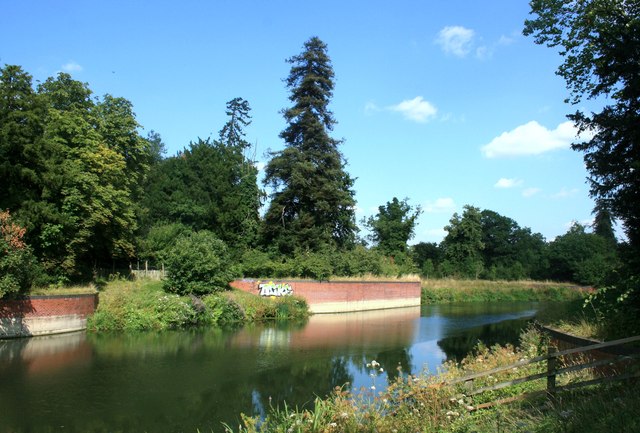
Image: © Des Blenkinsopp Taken: 29 Jul 2014
The Environment Agency's flood relief channel which leaves the Thames above Boulters Lock a couple of kms upstream of here.
Images are licensed for reuse under creativecommons.org/licenses/by-sa/2.0
Image Location
Latitude
51.52381
Longitude
-0.695634