Arable field on the edge of Hipsburn
Introduction
The photograph on this page of Arable field on the edge of Hipsburn by Graham Robson as part of the Geograph project.
The Geograph project started in 2005 with the aim of publishing, organising and preserving representative images for every square kilometre of Great Britain, Ireland and the Isle of Man.

There are currently over 7.5m images from over 14,400 individuals and you can help contribute to the project by visiting https://www.geograph.org.uk
Arable field on the edge of Hipsburn
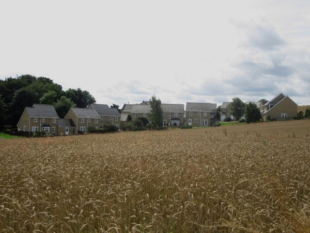
Image: © Graham Robson Taken: 9 Aug 2014
Looking across a field of wheat on the edge of Hipsburn. The modern housing development on the far side of the hedge has no doubt been built on former farmland.
Images are licensed for reuse under creativecommons.org/licenses/by-sa/2.0
Image Location
Latitude
55.395016
Longitude
-1.634328