The top of Bury Street, Guildford
Introduction
The photograph on this page of The top of Bury Street, Guildford by David960 as part of the Geograph project.
The Geograph project started in 2005 with the aim of publishing, organising and preserving representative images for every square kilometre of Great Britain, Ireland and the Isle of Man.

There are currently over 7.5m images from over 14,400 individuals and you can help contribute to the project by visiting https://www.geograph.org.uk
The top of Bury Street, Guildford
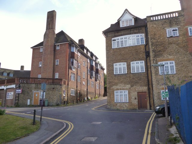
Image: © David960 Taken: 9 Aug 2014
The backs of Condor Court and Wycliffe Buildings.
Images are licensed for reuse under creativecommons.org/licenses/by-sa/2.0
Image Location
Latitude
51.233438
Longitude
-0.578528