Cycleway and a gas pipeline marker, Pontypool
Introduction
The photograph on this page of Cycleway and a gas pipeline marker, Pontypool by Jaggery as part of the Geograph project.
The Geograph project started in 2005 with the aim of publishing, organising and preserving representative images for every square kilometre of Great Britain, Ireland and the Isle of Man.

There are currently over 7.5m images from over 14,400 individuals and you can help contribute to the project by visiting https://www.geograph.org.uk
Cycleway and a gas pipeline marker, Pontypool
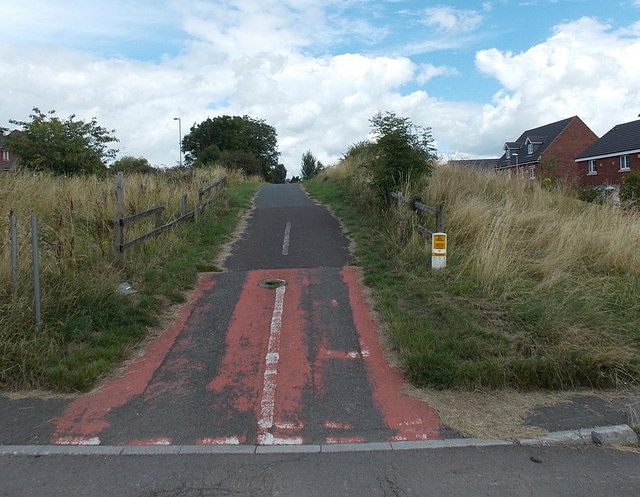
Image: © Jaggery Taken: 9 Aug 2014
Formerly a railway route at the edge of steelworks, now a cycle route and footpath at the edge of houses. The route is parallel with Station Road, a few metres to the west. The marker on the right is above a high pressure gas pipeline.
Images are licensed for reuse under creativecommons.org/licenses/by-sa/2.0
Image Location
Latitude
51.680646
Longitude
-3.020358