Fields and Farmsteads near Clowne
Introduction
The photograph on this page of Fields and Farmsteads near Clowne by Jonathan Clitheroe as part of the Geograph project.
The Geograph project started in 2005 with the aim of publishing, organising and preserving representative images for every square kilometre of Great Britain, Ireland and the Isle of Man.

There are currently over 7.5m images from over 14,400 individuals and you can help contribute to the project by visiting https://www.geograph.org.uk
Fields and Farmsteads near Clowne
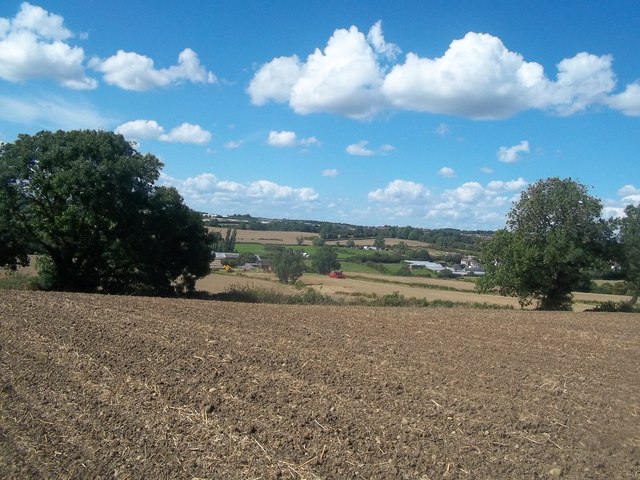
Image: © Jonathan Clitheroe Taken: 9 Aug 2014
Overlooking the western fringes of Clowne from a footpath which climbs up to the town from Stanfree.
Images are licensed for reuse under creativecommons.org/licenses/by-sa/2.0
Image Location
Latitude
53.268797
Longitude
-1.275161