Boundary stone north of Blacko village
Introduction
The photograph on this page of Boundary stone north of Blacko village by Allan Friswell as part of the Geograph project.
The Geograph project started in 2005 with the aim of publishing, organising and preserving representative images for every square kilometre of Great Britain, Ireland and the Isle of Man.

There are currently over 7.5m images from over 14,400 individuals and you can help contribute to the project by visiting https://www.geograph.org.uk
Boundary stone north of Blacko village
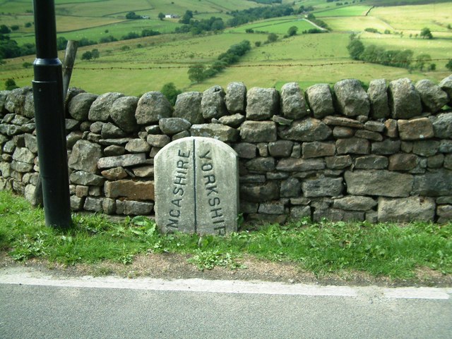
Image: © Allan Friswell Taken: 3 Aug 2013
Found on the old turnpike road between Nelson and Gisburn, the A682.
Images are licensed for reuse under creativecommons.org/licenses/by-sa/2.0
Image Location
Latitude
53.873456
Longitude
-2.223081