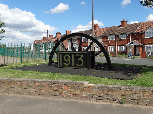
On King George's Road, Rossington
Introduction
The photograph on this page of On King George's Road, Rossington by Neil Theasby as part of the Geograph project.
The Geograph project started in 2005 with the aim of publishing, organising and preserving representative images for every square kilometre of Great Britain, Ireland and the Isle of Man.
There are currently over 7.5m images from over 14,400 individuals and you can help contribute to the project by visiting https://www.geograph.org.uk

Image: © Neil Theasby Taken: 9 Aug 2014
The erection of the Miners Wheel adjacent to the Parish Hall on McConnell Crescent has been successfully completed. The plaque showing the date 1913 relates to the year that most of the work was carried out sinking the shafts, and the plaque date 1915 relates to the year that the underground development works reached the coal seams. The positioning of the memorial garden is significant in the sense that the plot of land was probably the site of some of the huts that were occupied by the men who were employed to sink the shafts, as well as being surrounded by some of the first houses that were built by the Colliery Company.

