Path to Tighness
Introduction
The photograph on this page of Path to Tighness by Lairich Rig as part of the Geograph project.
The Geograph project started in 2005 with the aim of publishing, organising and preserving representative images for every square kilometre of Great Britain, Ireland and the Isle of Man.

There are currently over 7.5m images from over 14,400 individuals and you can help contribute to the project by visiting https://www.geograph.org.uk
Path to Tighness
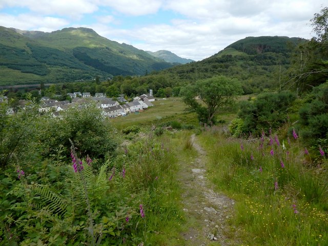
Image: © Lairich Rig Taken: 29 Jun 2014
This path is part of the Three Lochs Way; it is a branch from the main route, leading to Tighness near Arrochar. This part of the path is shown on the 1:25000 map. Not far ahead, it changes course to following the line of a fence: Image
Images are licensed for reuse under creativecommons.org/licenses/by-sa/2.0
Image Location


Leaflet Map data © OpenStreetMap
Latitude
56.194148
Longitude
-4.74416