Nursery Close, Hurstpierpoint
Introduction
The photograph on this page of Nursery Close, Hurstpierpoint by Simon Carey as part of the Geograph project.
The Geograph project started in 2005 with the aim of publishing, organising and preserving representative images for every square kilometre of Great Britain, Ireland and the Isle of Man.

There are currently over 7.5m images from over 14,400 individuals and you can help contribute to the project by visiting https://www.geograph.org.uk
Nursery Close, Hurstpierpoint
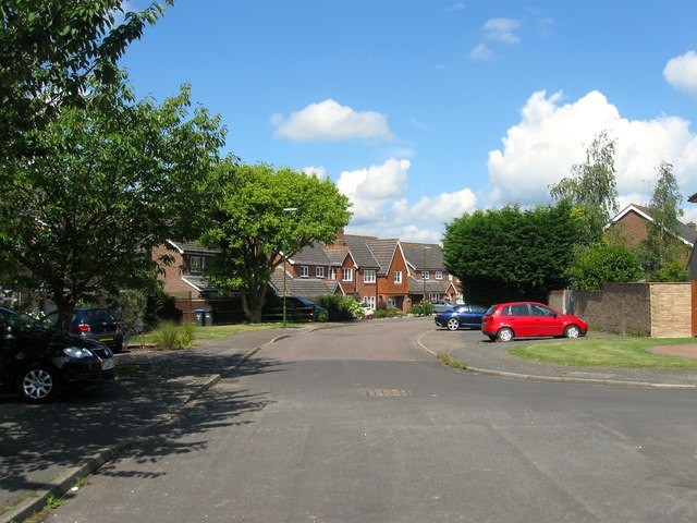
Image: © Simon Carey Taken: 7 Aug 2014
Originally a field called Ten Acres according to Hurstpierpoint's 1842 tithe map. By the end of the 19th century the portion adjacent to what is now Western Road was built upon with the rest becoming Courtbushes Nursery which remained in operation until the 1970s. Initially the eastern end of Nursery Close was built before it was extended into what remained the rest of the field in the 1990s.
Images are licensed for reuse under creativecommons.org/licenses/by-sa/2.0
Image Location
Latitude
50.940361
Longitude
-0.182535