Carnoustie Scout Hut
Introduction
The photograph on this page of Carnoustie Scout Hut by Anne Burgess as part of the Geograph project.
The Geograph project started in 2005 with the aim of publishing, organising and preserving representative images for every square kilometre of Great Britain, Ireland and the Isle of Man.

There are currently over 7.5m images from over 14,400 individuals and you can help contribute to the project by visiting https://www.geograph.org.uk
Carnoustie Scout Hut
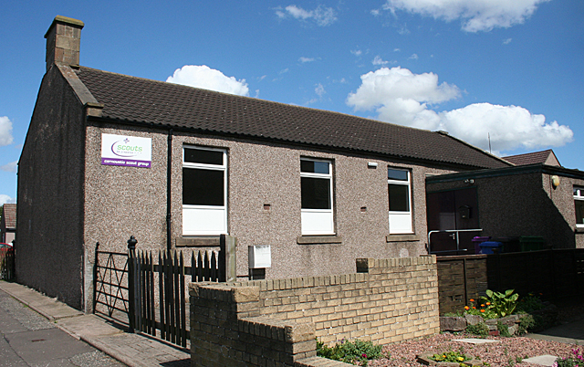
Image: © Anne Burgess Taken: 7 Aug 2014
This is the site of a drill hall, but whether this is the original building must be open to question.
Images are licensed for reuse under creativecommons.org/licenses/by-sa/2.0
Image Location
Latitude
56.498973
Longitude
-2.717292