Pennsland Lane near Lower Bowdley
Introduction
The photograph on this page of Pennsland Lane near Lower Bowdley by David Smith as part of the Geograph project.
The Geograph project started in 2005 with the aim of publishing, organising and preserving representative images for every square kilometre of Great Britain, Ireland and the Isle of Man.

There are currently over 7.5m images from over 14,400 individuals and you can help contribute to the project by visiting https://www.geograph.org.uk
Pennsland Lane near Lower Bowdley
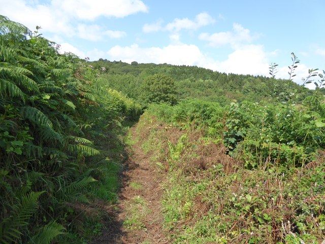
Image: © David Smith Taken: 6 Aug 2014
A bridleway across the valley between Lower Bowdley and Rushlade
Images are licensed for reuse under creativecommons.org/licenses/by-sa/2.0
Image Location
Latitude
50.536785
Longitude
-3.766665