Wickham Farmhouse, College Lane, Hurst Wickham
Introduction
The photograph on this page of Wickham Farmhouse, College Lane, Hurst Wickham by Simon Carey as part of the Geograph project.
The Geograph project started in 2005 with the aim of publishing, organising and preserving representative images for every square kilometre of Great Britain, Ireland and the Isle of Man.

There are currently over 7.5m images from over 14,400 individuals and you can help contribute to the project by visiting https://www.geograph.org.uk
Wickham Farmhouse, College Lane, Hurst Wickham
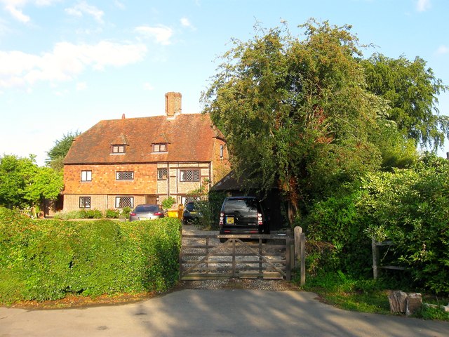
Image: © Simon Carey Taken: 7 Aug 2014
The farmhouse dates from the 17th century and was originally the only building on College Lane between the hamlet of Hurst Wickham and Hassocks Road, now the B2116.
Images are licensed for reuse under creativecommons.org/licenses/by-sa/2.0
Image Location
Latitude
50.930637
Longitude
-0.164556