Ruins of St Mary's Virley
Introduction
The photograph on this page of Ruins of St Mary's Virley by Glyn Baker as part of the Geograph project.
The Geograph project started in 2005 with the aim of publishing, organising and preserving representative images for every square kilometre of Great Britain, Ireland and the Isle of Man.

There are currently over 7.5m images from over 14,400 individuals and you can help contribute to the project by visiting https://www.geograph.org.uk
Ruins of St Mary's Virley
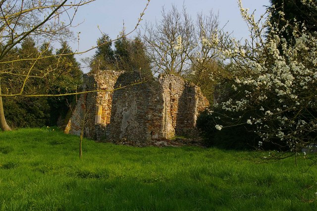
Image: © Glyn Baker Taken: 14 Apr 2007
These are the remains of Virley, Church, the structure was unsafe by 1879 it finally succumbed to the Great Colchester Earthquake of 1884 its near neighbour also called St Mary's still survives see Image
Images are licensed for reuse under creativecommons.org/licenses/by-sa/2.0
Image Location
Latitude
51.788774
Longitude
0.825823