OS benchmark - Wellington, Wrekin Road
Introduction
The photograph on this page of OS benchmark - Wellington, Wrekin Road by Richard Law as part of the Geograph project.
The Geograph project started in 2005 with the aim of publishing, organising and preserving representative images for every square kilometre of Great Britain, Ireland and the Isle of Man.

There are currently over 7.5m images from over 14,400 individuals and you can help contribute to the project by visiting https://www.geograph.org.uk
OS benchmark - Wellington, Wrekin Road
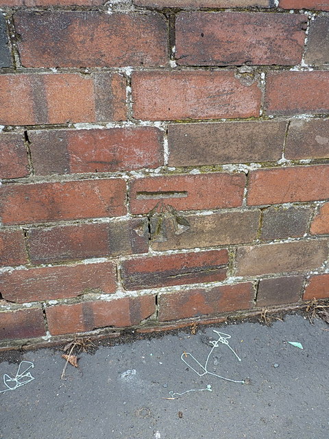
Image: © Richard Law Taken: 5 Jul 2014
An OS cutmark on a wall outside the beer garden of The Wickets; originally levelled at 115.294 above Ordnance Datum Newlyn. It's unusual to find a cutmark so close to an existing one, especially when the other is a flush bracket, and only 25 yards away around the corner Image
Images are licensed for reuse under creativecommons.org/licenses/by-sa/2.0
Image Location
Latitude
52.6942
Longitude
-2.519478