Geological walk - British Geological Survey
Introduction
The photograph on this page of Geological walk - British Geological Survey by Ashley Dace as part of the Geograph project.
The Geograph project started in 2005 with the aim of publishing, organising and preserving representative images for every square kilometre of Great Britain, Ireland and the Isle of Man.

There are currently over 7.5m images from over 14,400 individuals and you can help contribute to the project by visiting https://www.geograph.org.uk
Geological walk - British Geological Survey
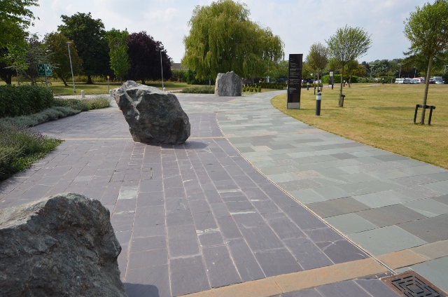
Image: © Ashley Dace Taken: 1 Aug 2014
Several rocks - The one in the distance is some Lewissian gneiss.
Images are licensed for reuse under creativecommons.org/licenses/by-sa/2.0
Image Location
Latitude
52.878747
Longitude
-1.079445