No Doos!
Introduction
The photograph on this page of No Doos! by Lisa Jarvis as part of the Geograph project.
The Geograph project started in 2005 with the aim of publishing, organising and preserving representative images for every square kilometre of Great Britain, Ireland and the Isle of Man.

There are currently over 7.5m images from over 14,400 individuals and you can help contribute to the project by visiting https://www.geograph.org.uk
No Doos!
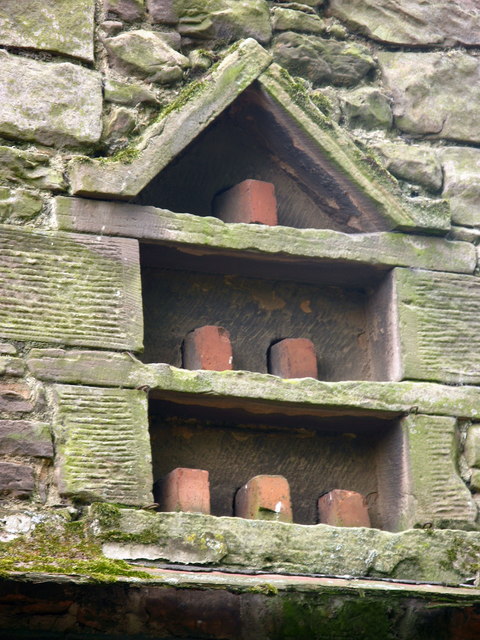
Image: © Lisa Jarvis Taken: 22 Apr 2007
The flight holes in this small dovecote in a farm building at Lilburn Hill have been closed up with bricks.
Images are licensed for reuse under creativecommons.org/licenses/by-sa/2.0
Image Location


Leaflet Map data © OpenStreetMap
Latitude
55.523873
Longitude
-1.980966