Converted Mill buildings
Introduction
The photograph on this page of Converted Mill buildings by Stephen Pearce as part of the Geograph project.
The Geograph project started in 2005 with the aim of publishing, organising and preserving representative images for every square kilometre of Great Britain, Ireland and the Isle of Man.

There are currently over 7.5m images from over 14,400 individuals and you can help contribute to the project by visiting https://www.geograph.org.uk
Converted Mill buildings
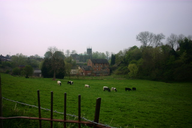
Image: © Stephen Pearce Taken: 21 Apr 2007
A view from Coppice Road, Stone, looking down the hill to old mill buildings that are now converted to flats. The church in the background is St Michael's.
Images are licensed for reuse under creativecommons.org/licenses/by-sa/2.0
Image Location
Latitude
52.903351
Longitude
-2.142684