Ignore satnav near Symonds Yat Rock
Introduction
The photograph on this page of Ignore satnav near Symonds Yat Rock by Jaggery as part of the Geograph project.
The Geograph project started in 2005 with the aim of publishing, organising and preserving representative images for every square kilometre of Great Britain, Ireland and the Isle of Man.

There are currently over 7.5m images from over 14,400 individuals and you can help contribute to the project by visiting https://www.geograph.org.uk
Ignore satnav near Symonds Yat Rock
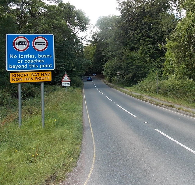
Image: © Jaggery Taken: 3 Aug 2014
Signs show no lorries, buses or coaches beyond this point (near the entrance to Symonds Yat Rock). The triangular sign in the background shows a 1 in 5 descent ahead - use low gear for ½ mile.
Images are licensed for reuse under creativecommons.org/licenses/by-sa/2.0
Image Location
Latitude
51.839096
Longitude
-2.633788