West Edge, Marsh Gibbon, Bucks
Introduction
The photograph on this page of West Edge, Marsh Gibbon, Bucks by P L Chadwick as part of the Geograph project.
The Geograph project started in 2005 with the aim of publishing, organising and preserving representative images for every square kilometre of Great Britain, Ireland and the Isle of Man.

There are currently over 7.5m images from over 14,400 individuals and you can help contribute to the project by visiting https://www.geograph.org.uk
West Edge, Marsh Gibbon, Bucks
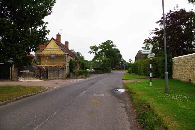
Image: © P L Chadwick Taken: 20 Jul 2014
Part of the road known as West Edge, which further on becomes Church Street and then Castle Street. It is heading for Aylesbury. On the left is the junction with Tompkins Lane, which joins Bicester Road.
Images are licensed for reuse under creativecommons.org/licenses/by-sa/2.0
Image Location
Latitude
51.899951
Longitude
-1.066588